
Musquodoboit Valley
|
Areas Page Editors: please follow the Guidelines, whether you are editing an in-game area or World Territory. |
On this page... (hide)
- 1. Description
- 2. The Fence
- 3. Landmarks
- 3.1 Mactara Sawmill
- 3.2 Mactara Sawmill Training Grounds
- 3.3 Thackary Village
- 3.4 White Plains
- 4. Waterways
- 5. History
- 6. Notes
- 7. Sources
 | |
| Credit | willdebeast@Flickr |
|
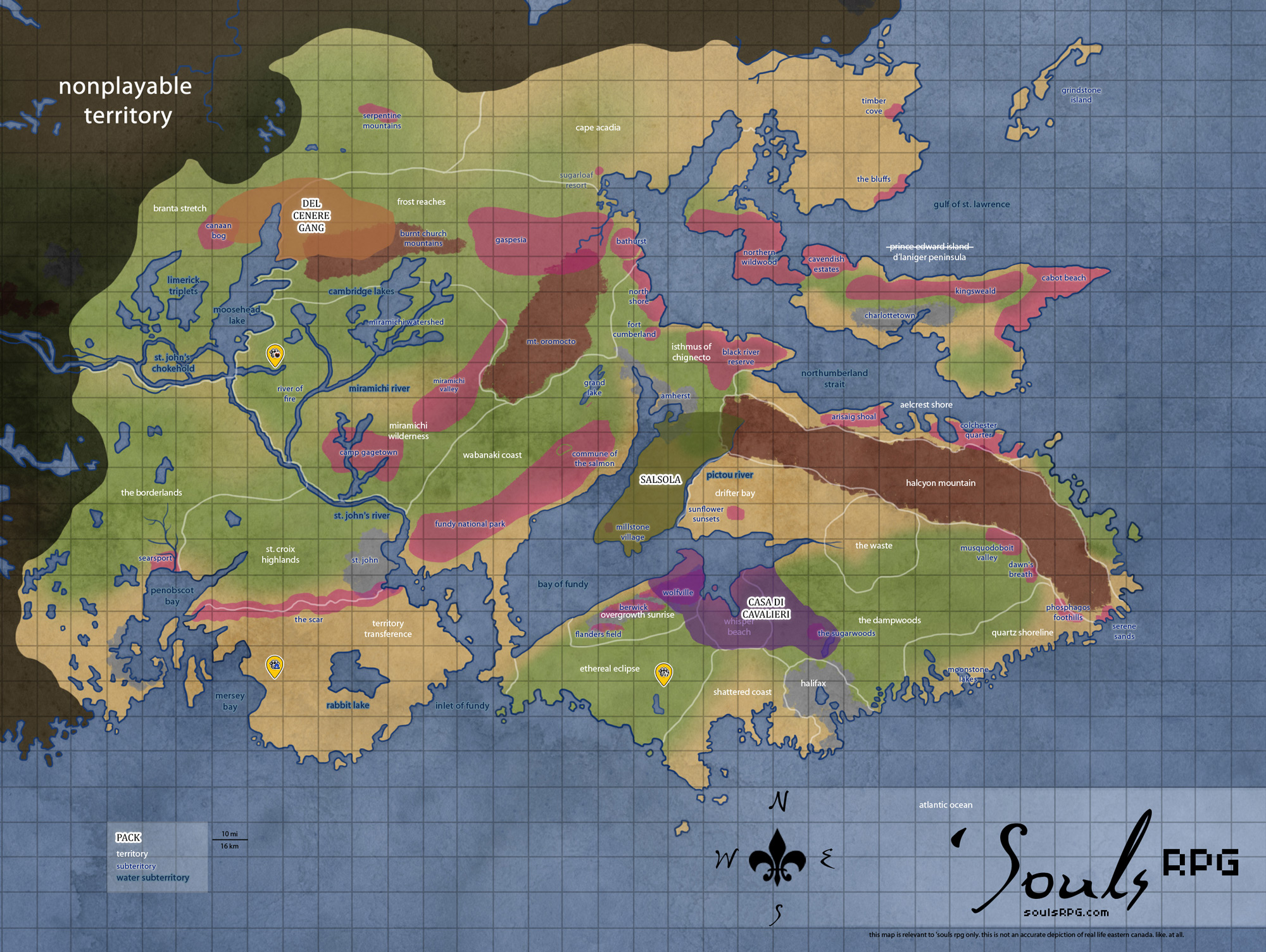
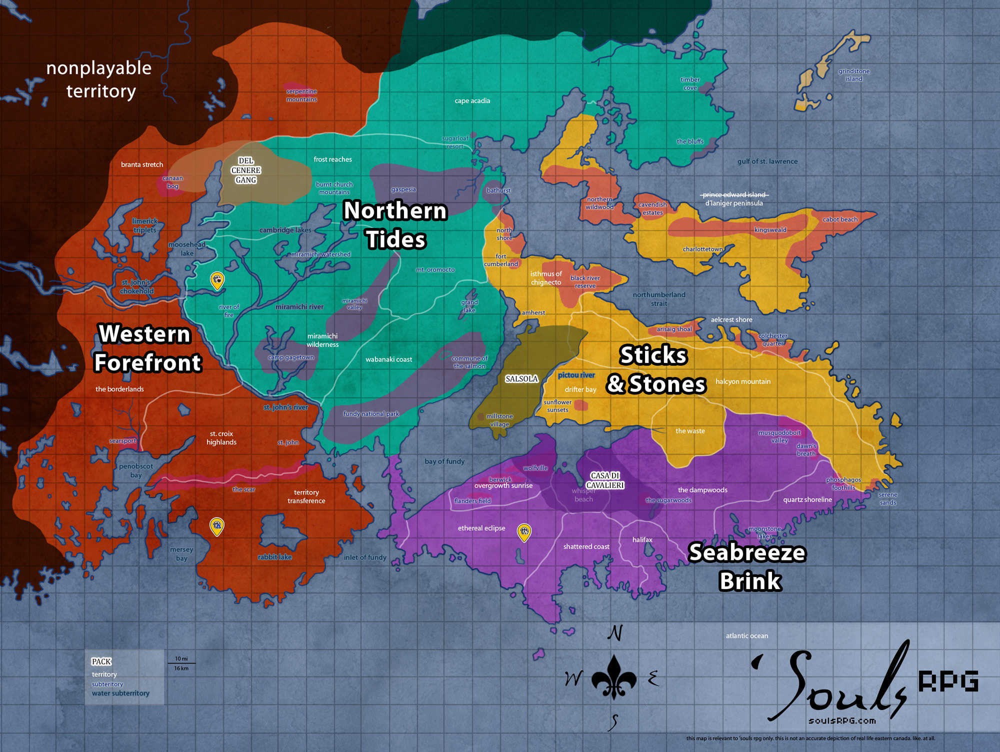
General | |
| Region | Seabreeze Brink |
| Territory | The Dampwoods |
| Major Waterways | — |
| Size | ?? sq km / ?? sq mi |
|
Roleplay! | |
1. Description
The Musquodoboit Valley is a large rural lowlands area, running west to east, that was once used by humans for farming, agriculture, and forestry purposes. The valley bears testament to its past; the northeastern portion of the territory boasts fields once used for farming grain and vegetables. Hidden by the rising ridges of the Halcyon Mountain to the north and south, the area has flourished with a wealth of plant life, the beginnings of The Dampwoods to the west of the territory. Through the heart of the valley, the Musquodoboit River runs its surface course before diving back underground in the easternmost end of the valley. The valley is littered with Erratic stones and boulders from when the area was covered by a glacier, excepting the more developed fieldlands to the north of the Musquodoboit Valley and the lands around the large sawmill -- all clearly landscaped and changed to suit humanity's purposes.
2. The Fence
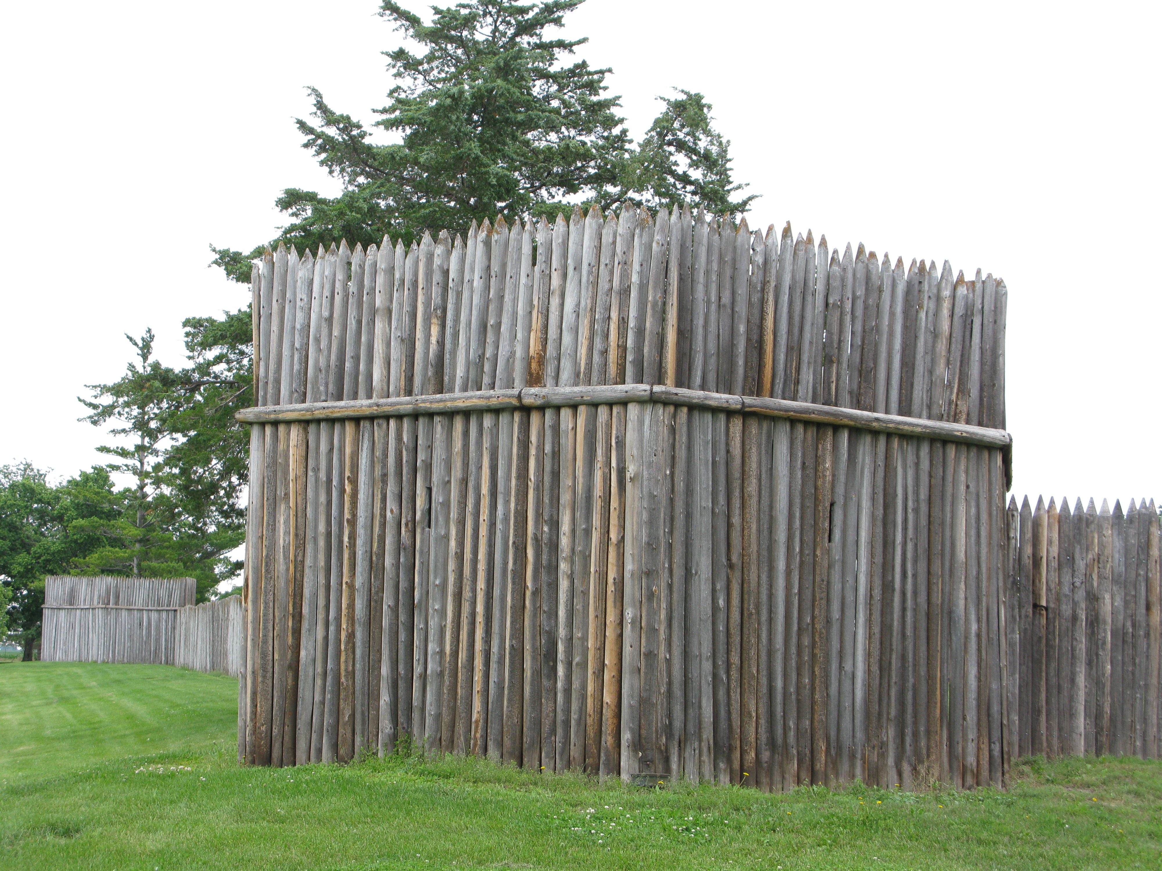
Due to once being the outer parts of Anathema, there are parts of a thick, tall wooden Palisade fence built on the outskirts of the Phosphagos Foothills. The fence covers a lot of ground continuously before there is a break in the wood structure. The surrounding sections that were too rocky or steep for fence building have deep wooden spike traps and hedgehogs. If a canine is not careful, they could become an easy meal to those wooden spikes.


3. Landmarks
3.1 Mactara Sawmill
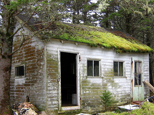
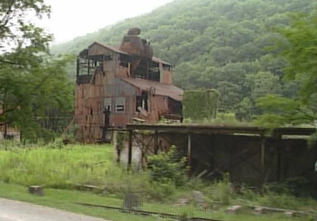
This huge sawmill and processing plant sits in the center of the valley, between the farming communities of the north and the forested land to the south. There is definite evidence of this sawmill's impact on the valley -- large swaths of the forest have been cut down, leaving only stumps behind. In the twenty years since humanity's demise, however, there has been some recovery. Saplings and bushes now dot these more barren patches. The stumps are very much in evidence, however, in the area directly surrounding Mactara.
3.2 Mactara Sawmill Training Grounds
Mactara Sawmill was converted into a spacious, weather-tight training area. Inside, there are various hooks and wall mounts for different weapons to be hung on the walls and a weapons rack for all other weapons. Outside, to the right of the grounds, is a fenced-in area used for bow training and sparring. This area provides a couple different landscape options; it starts off as open grassland, eventually becoming more rockier and tree-dense as one moves farther away from the fence. There are also wooden dummies situated outside, close to the building, for hand-to-hand practice.
3.3 Thackary Village
Thackary Village is located in the southern-most corner of Musquodoboit Valley. It's entrance is marked by a broken angel statue and a reconstructed playground for puppies. This small village consists of a few residential houses, all of which are weather-beaten, the Storm Tree Villa, a playground, an old sawmill converted into an indoor training grounds, overgrown (or barren) gardens, a Common House, and a few other structures. The area surrounding the village consists of rolling mountainous hills and thick forests.
3.4 White Plains
White Plains gets it name from the multitude of White Tailed Deer that reside within it. The trees coat the land thin, creating an uneven, rocky terrain that tests the skills of the best hunters. While the prey is plentiful here, there are very few places to take cover. Towards the center of this territory, the ground evens out to a plush spread of grass where ungulates can see in all directions.
4. Waterways
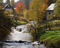
4.1 Musquodoboit River
The Musquodoboit runs through the Musquodoboit Valley. Its actual track is so small that it can barely be called a river. Fast-moving currents, however, meant the river had its uses in the days of humanity: the Valley was richly-supported by farming and agriculture. The river arises from a spring in the Halcyon Mountains, surfaces for a brief time, and then disappears back underground again beneath the mountain. It surfaces briefly in Dawn's Breath, burbling in the shallow caves found within the westerly part of this territory, and eventually seeps out into the ocean somewhere around the Serene Sands?.
5. History
- August 08, 2009: Charon Amrithai nearly drowns in the Musquodoboit Valley in a flash flood. Flayra Zazkex warns him to watch his step, but Claire? actually saves him. [1]
- Anathema previously claimed this subterritory until its disbandment on March 1st, 2018.
6. Notes
- The name "Musquodoboit" is Mi'kmaq, roughly translated to "beautiful water".
7. Sources