
Arisaig Shoal
|
Areas Page Editors: please follow the Guidelines, whether you are editing an in-game area or World Territory. |
On this page... (hide)
- 1. Description
- 2. Landmarks
- 3. Sources
 | |
| Credit | Wikimedia Commons |
|
General | |
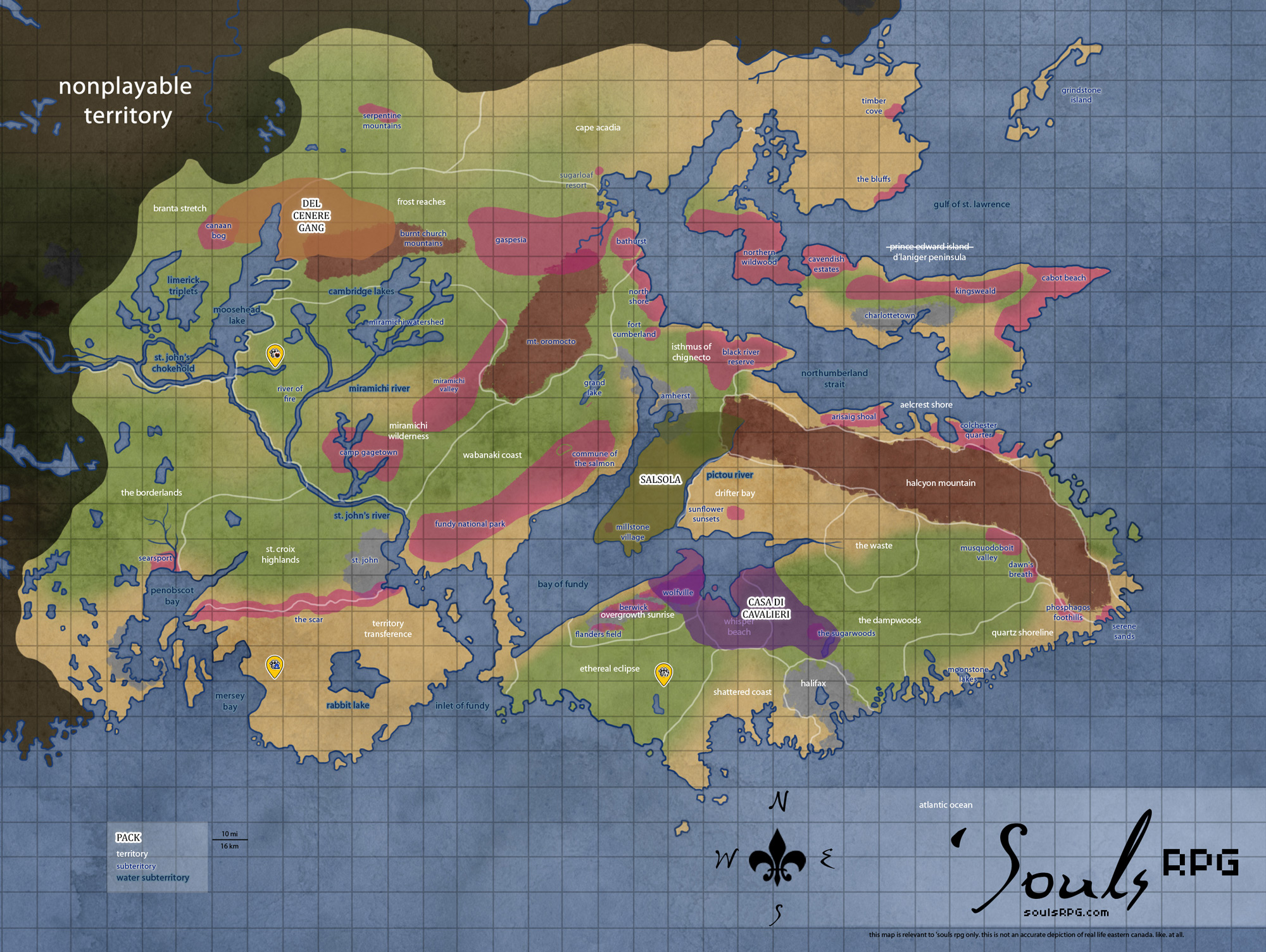
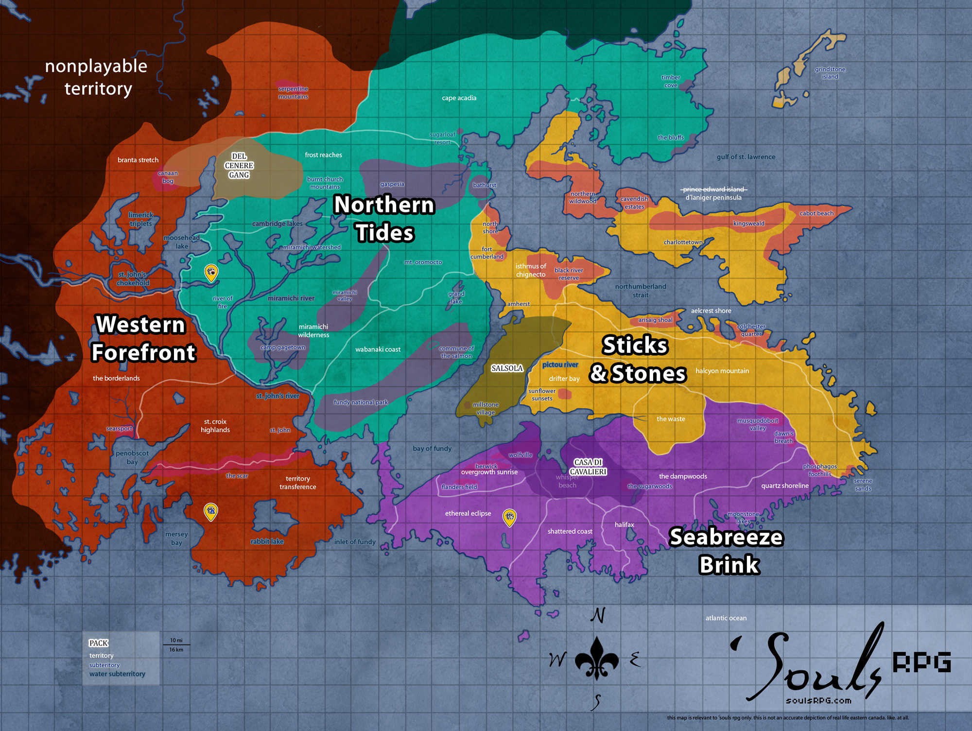
| Territory | Aelcrest Shore |
| Major Waterways | Northumberland Strait |
| Size | ?? sq km / ?? sq mi |
|
Roleplay! | |
1. Description
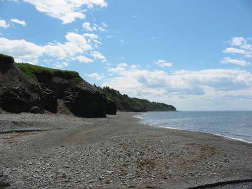
Once Arisaig Provincial Park, this area displays some of the wild evidence of a young earth. At the top of jagged, low-lying cliffs lining shoreline, there lies a flat surface, evidence of a higher sea level. Arisaig also shows some evidence of glaciation -- the inland areas are rolling hills, marked with kettle indentations and drumlin ridges. The occasional erratic boulder has also come to rest in the Arisaig area, dragged to rest in Arisaig park by glaciers long melted. There is an even mix of grasslands and plains here, and from the shore, one can look to north to the vast island, though the swift currents are certain death for anyone attempting a swim.
2. Landmarks
2.1 Arisaig Provincial Park
This long, narrow provincial park in the Arisaig Shoal territory is situated around the Arisiag Bay. It is notable for its fossil-ridden sea cliffs. Coastal cliffs give way to thin, sandy beaches with gentle coasts. To the north is the the Northumberland Strait; D'Laniger Peninsula is not visible due to distance. Sparse inland forests are mixed deciduous and pine, though the latter dominates nearer to the coastline and the bay.
3. Sources